Back to Top
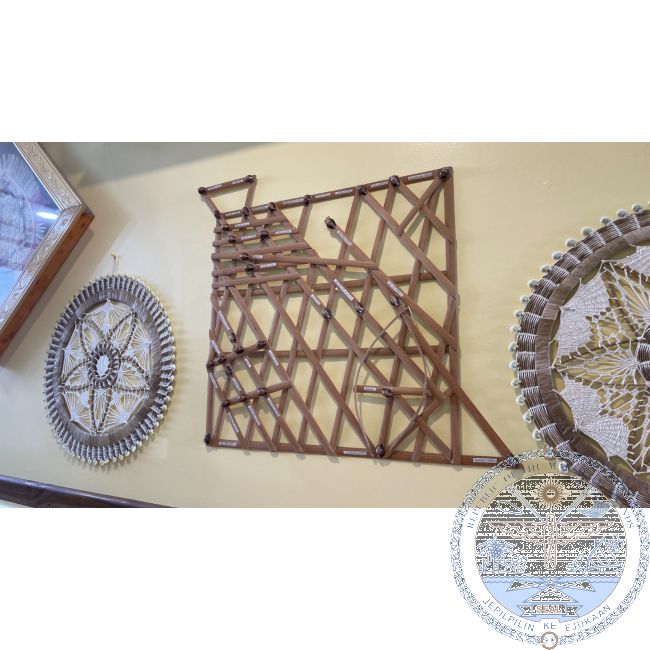
Navigational “stick charts”
In stock
- FREE 1-3 day shipping over $49
Navigational “stick charts” are only found in the Marshall Islands. These unique charts were used as instructional aides to help teach guarded navigational skills to select students about wave and current patterns around the atolls. They were not taken to sea, but memorized and were meaningless without the knowledge in the heads of their master navigator instructors. The charts were made by men from thin strips of coconut frond midribs or pandanus root. They were then bound together with coconut sennit in geometric patterns depicting sea currents around the low-lying atolls. Small money cowrie shells or coral pebbles indicate special islands, and the curved sticks show wave patterns.


